
Hiking Mt Roy, Wanaka.
- Simone
- Jun 1, 2020
- 4 min read
I had the pleasure today on my public holiday to climb Mt Roy, better known as Roy’s Peak in Wanaka, with about 1000 other people.

Yesterday I decided it was time I ticked this infamous walk off my bucket list. I am pretty lucky to live so close to Wanaka that a 5pm decision the day before a hike up a giant hill, is possible.
As I scrolled through the DOC website on Mt Roy I was sending screenshots to Bec who had volunteered to join me. I did glance over the track rating of “difficult” and the +1000m of elevation but didn’t really let that sink in. I was more concerned that the persistent fog of central Otago would ruin my photo opportunities. I really should have paid more attention to the track notes.

The Mount Roy track is about a 5 minute drive out of Wanaka. Its carpark in generally pretty full, often overflowing, anytime of the day. People trudge up there to see sunrises over the lake (a 4am start in May) and to watch the sun set too. Then there are the day walkers. Let’s be honest it’s easily the busiest mountain walk in Central Otago.
At 1572 meters, Mt Roy isn’t an easy walk. I consider myself fairly fit and I really struggled up the track. You gain 1300 meters in elevation if you summit the peak. Considering this is over about 8km this is about 160m in elevation per km. This is fairly steep.

The track is well marked and pretty clear. I’m still glad I wore hiking boots and brought warm clothes. As anyone will tell you about New Zealand’s alpine areas they turn quickly and even a nice day has the potential to turn rancid. It’s very common to be overtaken by overly fit people casually running up the damn hill. The reality is mountains test people’s fitness, you need to walk at your own pace. We observed a varying range of fitness gear and levels on the track. They all made it up and back. Some just looked worse for wear (that may have been me).

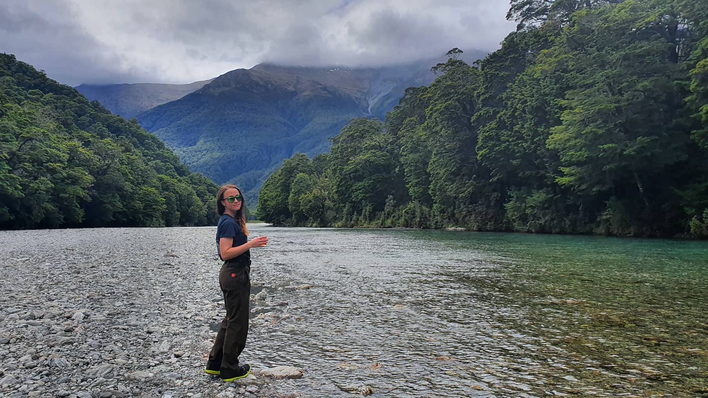
We walked in fog for the first couple of kms up. Hitting about 500m we suddenly got above the clouds and the sun was shining. The track is pretty exposed and I am glad it wasn’t too hot nor was it windy, it would be horrible in either of those conditions. It’s an amazing walk, if you have the view. The opposing mountain ranges are super impressive, snow capped at this time of year and the ridgelines are surreal. They really are razor backs with giant shale slips flowing down the hill. It isn’t country for the faint hearted.

The walk is a bit of a non event in terms of terrain. it's just up, up and up. You get to "Roy's Peak" lookout about 1.5km before the summit. If no one is there I would recommend taking photos. There was a disagreement between people about "photo spots" as everyone wants that classic "Roys Peak" photo along the ridge line and people were being selfish and rude. It's great to watch if you aren't involved. It's also just a pretty spectacular spot to feel on top of the world.
We continued up to the summit because I was going to sook and cramp up if I stopped. That last 1.5km was killer. It was crazy watching some people opt to leave the track and go directly up the ridge to the summit, a direct route, but it was incredibly steep and tough. I wasn't keen.

We summited at 12, after starting at 9am. We were thrilled to get there in three hours, it was certainly earned. We had lunch right on the cliff edge watching the fog slowly disappear. It was cold with an chilly wind up top, the extra layers were certainly welcome at this point. You can continue on from Mt Roy across to the Cardona valley if you are keen however our plan was to return the way we came. Before we left the summit we took lots of photos. I noticed it was just really a game of dodge having people in your shots for most of the photo ops. Walking to the summit worked in our favour though as not everyone walks past the lookout so you do get less people on the track.

The way down is pretty vicious on your legs. It look us about 2 hours to get to the bottom, this was after we took a few photos along the way. The cloud had dissipated a bit and we were lucky to get views down the Matukituki and Glendu before we left. The lake was pure glass which just added to the magic.
I don't know if I would walk this again, I'm glad I did it but the amount of foot traffic didn't thrill me. I would be interested to do it with snow cover but that brings other dangers. I was really glad Bec came with me. I don't know if I would enjoyed the walk without a friend to experience it with, it also made the walk down a lot less boring!
If you are going to do this walk, I'd check the weather and pack food and water. It's a long walk and you wouldn't want to get to the top and have no views.
Until next time, Sim.


Comments